The Cauterets Lakes Circuit: One of the Best Hikes in the Pyrenees
Everything you need to know for the Marcadau valley and Cardinquère loop from Cauterets: where to park, what to pack, where we slept, and how the trail actually unfolds.
Key Info at a Glance
| Distance | 22 km loop |
| Duration | About 6 hours of walking |
| Difficulty | Hard |
| Elevation gain | 1,133 m |
| Type | Loop, through the valley and up past the lakes |
| Dogs allowed | No |
Where Is the Marcadau Valley
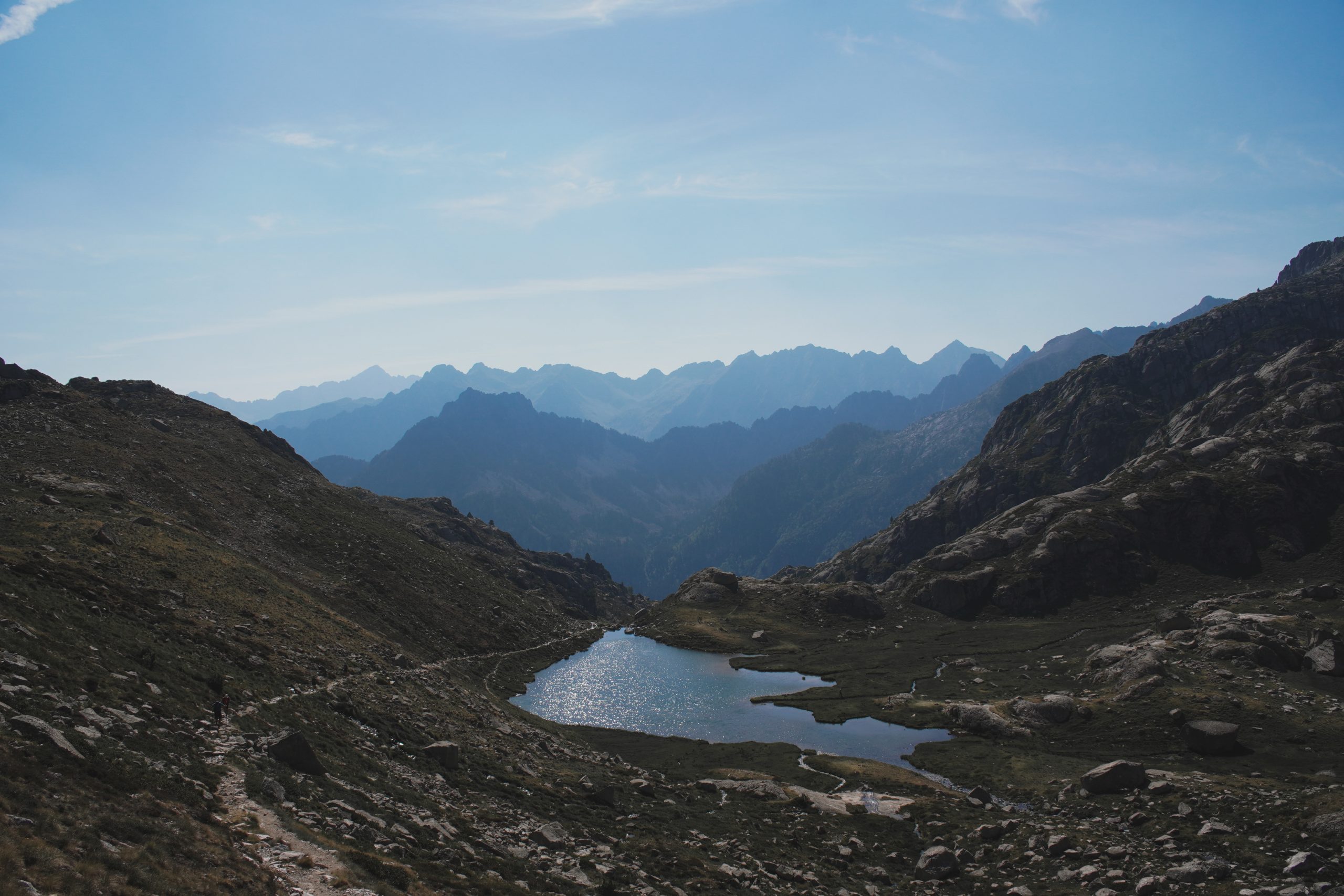
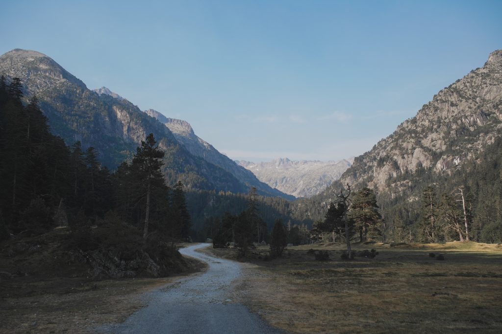
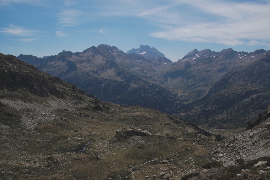
The Marcadau valley sits just south of Cauterets, in the Hautes-Pyrénées, inside the Parc National des Pyrénées. The trailhead is at Pont d’Espagne, about 8 km and a 15 to 20 minute drive up from Cauterets. From there, the valley opens into wide meadows and pine forest, climbing gently toward the Refuge Wallon-Marcadau before the real climbing starts, up past a string of glacial lakes toward the Cardinquère massif, with peaks over 2,600 m closing in around you. It’s one of the classic valleys of the Pyrenees, and it gets a lot quieter than Gavarnie once you’re past the first couple of kilometers.
When to Visit
This is mountain weather, so treat any forecast as a rough guide and not a promise, conditions can flip fast up there, so always check the forecast the morning of your hike. The valley sits higher than Gavarnie overall, so snow tends to hang around longer at altitude, June to October is generally the window, with July and August as the safest bet for a fully clear trail.
| Season | Conditions | Day Temp | Night Temp |
| Spring (Mar–May) | MELTING SNOW Lower down it’s clear, but high lakes and the Cardinquère side can stay snow-covered into June | around 5 to 15°C | near freezing |
| Summer (Jun–Sep) | SUNNY Prime hiking season, trail fully clear, afternoon thunderstorms possible in July and August | around 15 to 23°C | 5 to 12°C at altitude |
| Autumn (Sep–Oct) | RAIN SHOWERS Quiet and stable early on, first snow possible up high late in the season | around 8 to 16°C | near freezing |
| Winter (Nov–Apr) | SNOW-BOUND Valley under snow, this loop turns into a winter touring or snowshoe route with proper gear | around 0 to 5°C | well below freezing |
We went in July, which meant long daylight and warm afternoons, but also a higher chance of afternoon storms up near the lakes, so we kept half an eye on the sky the whole day.
How to Get There
You need a car for this one, or you can take the bus. From Cauterets, follow the D920 up to Pont d’Espagne, about 8 km and 15 to 20 minutes depending on traffic. Parking at Pont d’Espagne is 8 euros for the day, and it fills up fast in summer. We got there early and had no trouble finding a spot, getting there early also buys you the first stretch of the valley almost to yourself before the day-trippers arrive, the walk up to Refuge Wallon is the busiest section by far since it doubles as an easy family outing, so an early start is really the trick to enjoying it without the crowd.
If you’d rather skip parking altogether, there’s a shuttle bus connecting Cauterets to Pont d’Espagne through the summer season, roughly late May to late September, stopping at the town centre, the campsite car park, and La Raillère along the way. A return ticket runs about 8.50 euros, check the current timetable before you go since it varies between school holidays and regular weeks.
Where to Stay
We slept in Cauterets, and for this hike it actually makes sense, Pont d’Espagne is only 15 to 20 minutes away, so there’s no long drive to factor in like there was for our Gavarnie day. Cauterets is a proper spa town too, which is a nice place to land after a 6 hour day in the mountains.
Here are three places to stay in Cauterets, one for every budget:
| Budget | Hotel | Good to know | Book |
| 💵 | Cauterets Res Pont d’Espagne | A cozy 36 m² studio in the heart of Cauterets, offering mountain and river views, a kitchenette, and easy walking access to thermal baths and restaurants. The rates starting around €62/night. | Check rates → |
| 💵💵 | Le 38 Authentique | A 34 m² two-bedroom apartment right in the center of Cauterets, offering mountain and river views. Hosted by a private host (Ludovic and Sandra), it starts at €114 per night. | Check rates → |
| 💵💵💵 | Les Chalets de l’Ours | A modern chalet accommodation in Cauterets, near the town center and ski lifts, offering private kitchens, balconies with mountain views, and free parking. It starts at €225 per night | Check rates → |
What to Pack for a Day Hike Like This
This isn’t a stroll, 22 km and over 1,100 m of elevation gain will find every weakness in your gear. Here’s what we actually carried:
| Item | Why | Shop |
| Hiking shoes | Worth investing in proper ones, your ankles will thank you on the descent. | Shop Hiking Shoes → |
| Sun hat, sunglasses, sunscreen | You’re above the treeline for a good stretch with zero shade. | Shop the Vichy Capital Soleil SPF50+ → |
| 5 litres of water for two | What we carried between us, just about right for a hot July day. Bring more if it’s forecast hotter. | Shop the Hydration Bladder → |
| A picnic lunch | We picked up bread and cheese from a small fromager in the centre of Cauterets before heading out | |
| A compact first aid kit | Something I never leave behind anymore | Shop the First Aid Kit → |
| A fleece | Temperatures drop fast once you’re up high, even during summer. | Shop the Fleece → |
| Offline map or GPS track | Phone signal disappears fast once you’re deep in the valley, we used AllTrails. | |
| Cash or card for parking | 8 euros for the day at Pont d’Espagne. |
How the Hike Unfolds
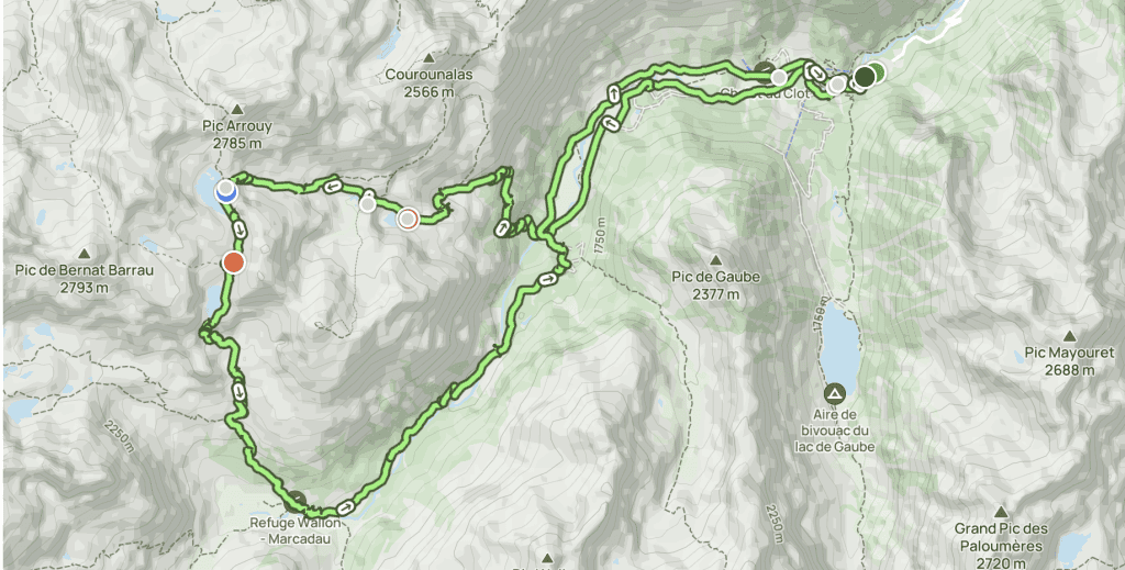
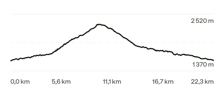
I recorded our route on AllTrails if you want to follow the exact trace and elevation profile: our Marcadau valley – Cardinquère hike on AllTrails.
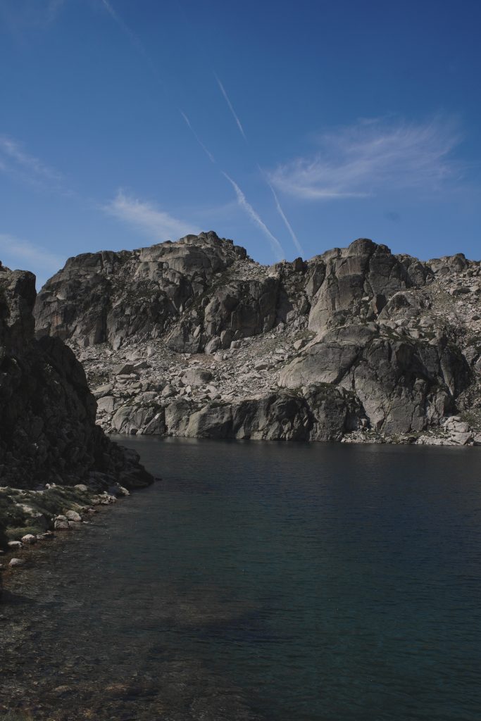
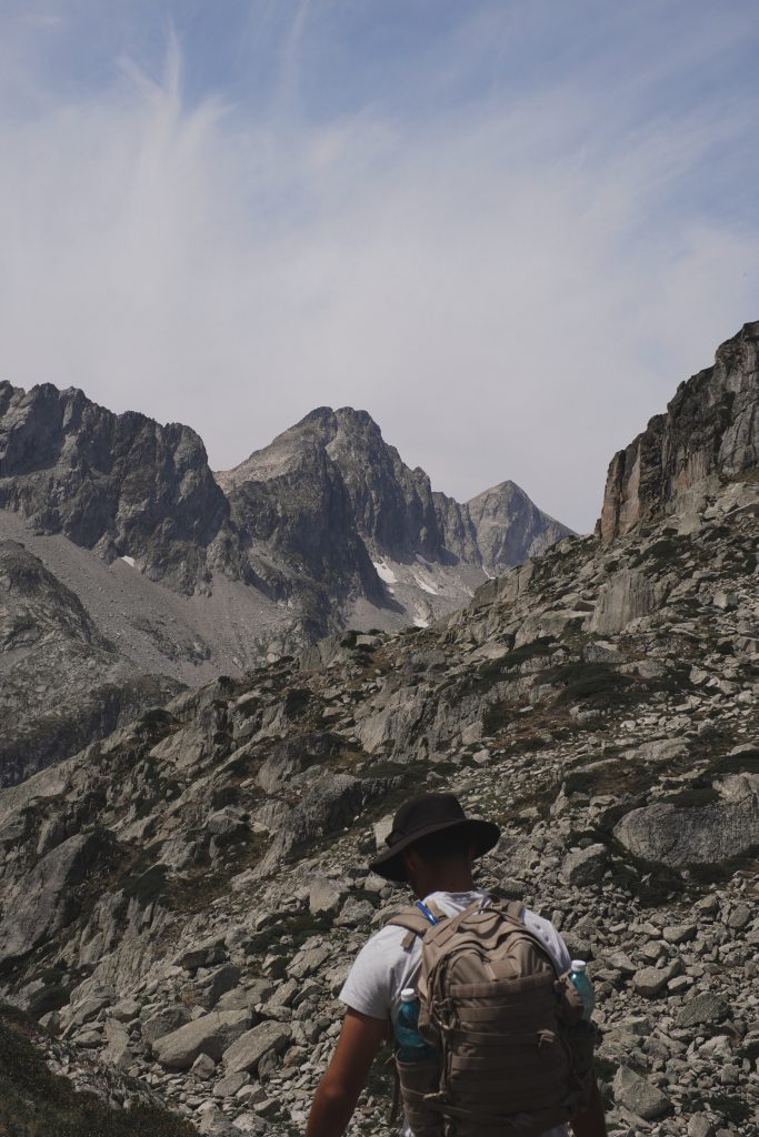
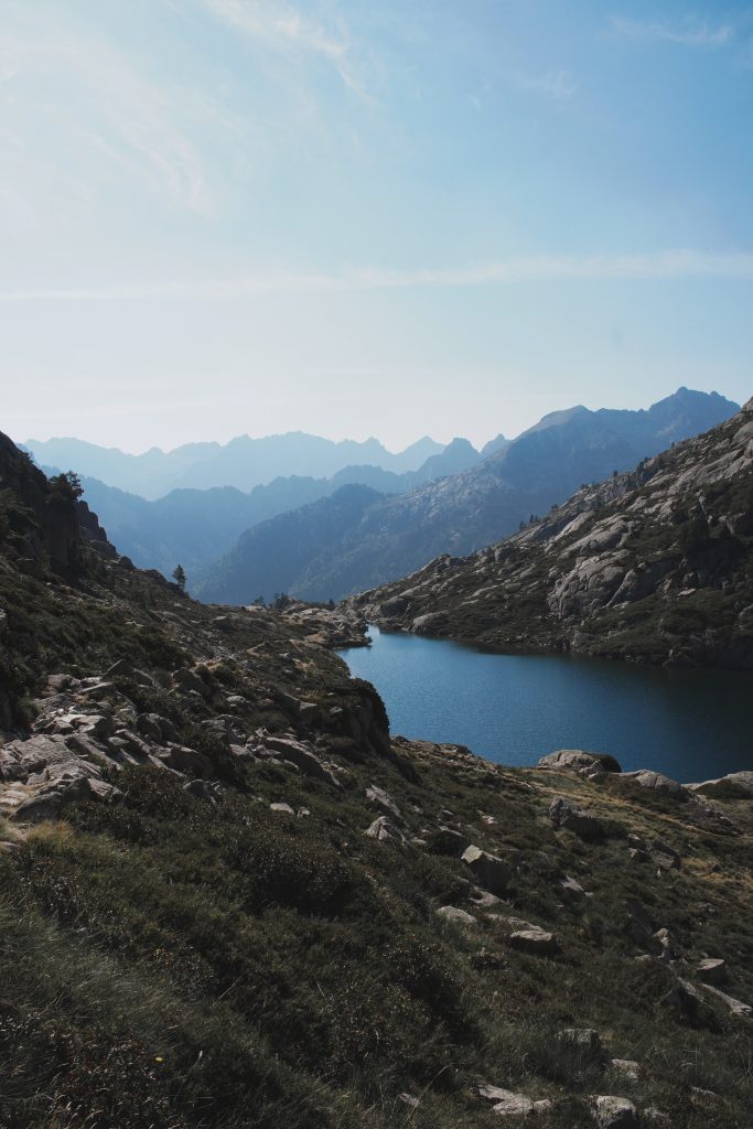
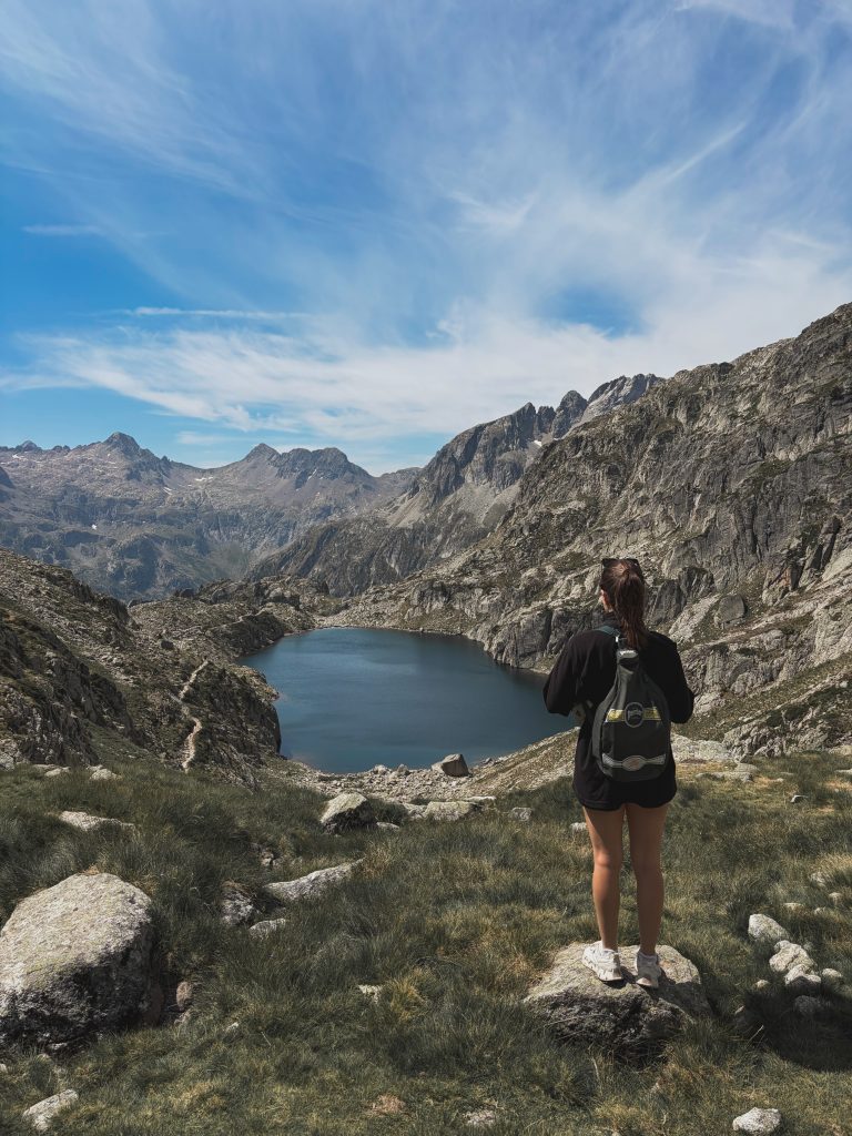
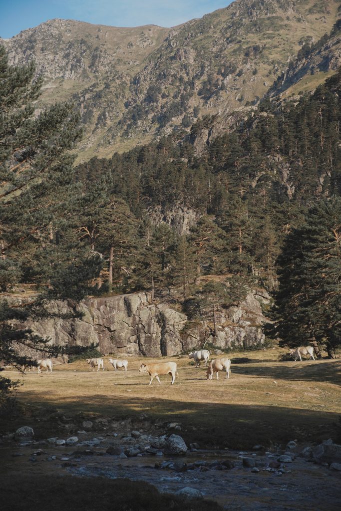
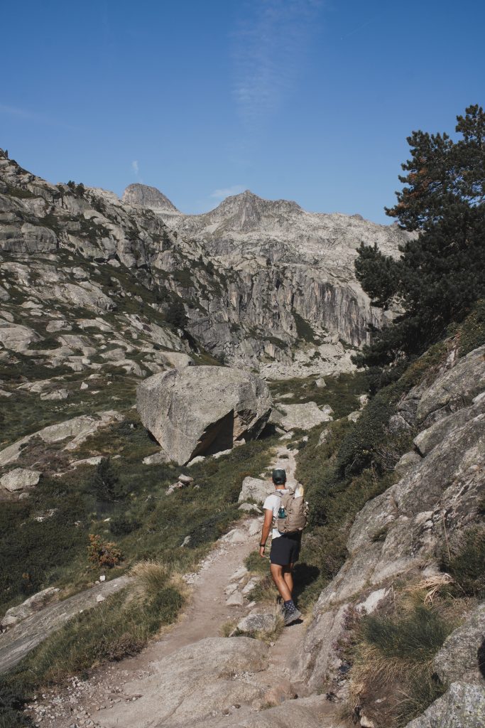
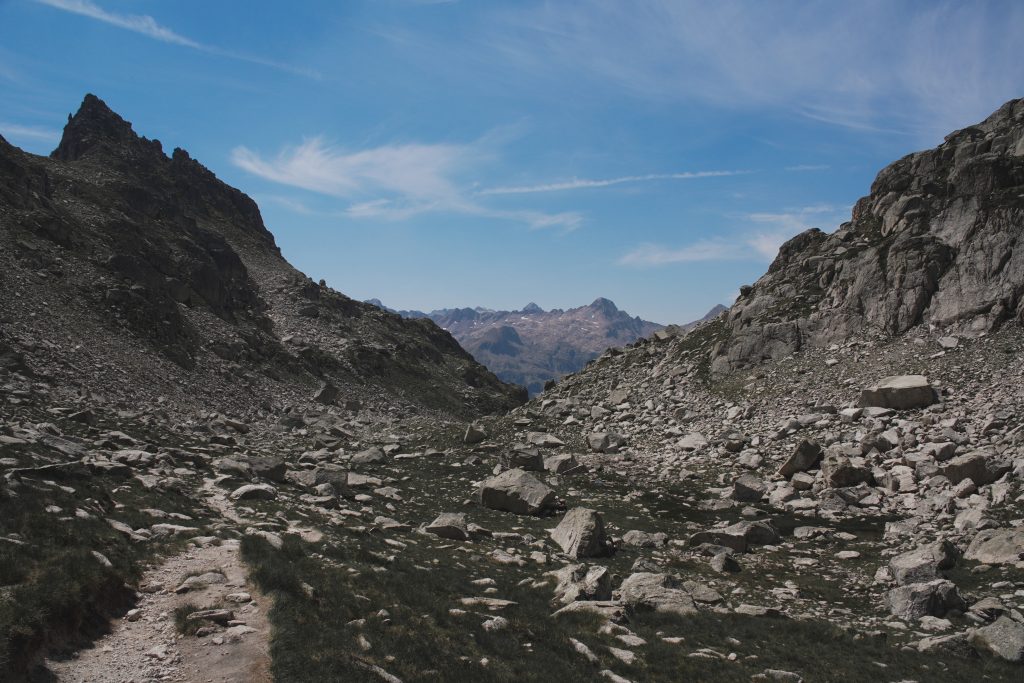
We stopped in the centre of Cauterets on the way out to grab bread and cheese from a local fromager, the best decision of the day. There’s something about eating good cheese with a view of peaks that makes the climb feel worth it before you’ve even started. We parked at Pont d’Espagne just after 8am, no trouble finding a spot since we were early, and started walking while the valley was still quiet.
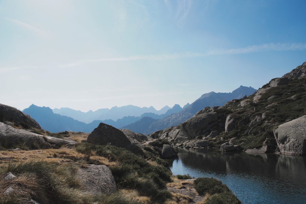
The first stretch toward Refuge Wallon-Marcadau is gentle, wide meadows, pine forest, and a lot of families and day walkers out for the classic there-and-back to the refuge. Past the refuge, the trail changes completely, this is where the crowd thins out and the real climbing starts. Our pace dropped from a comfortable 12 minutes per km on the valley floor to over 20 minutes per km once we hit the switchbacks toward the lakes and the Cardinquère side, that’s where most of the 1,133 m of elevation gain actually happens.
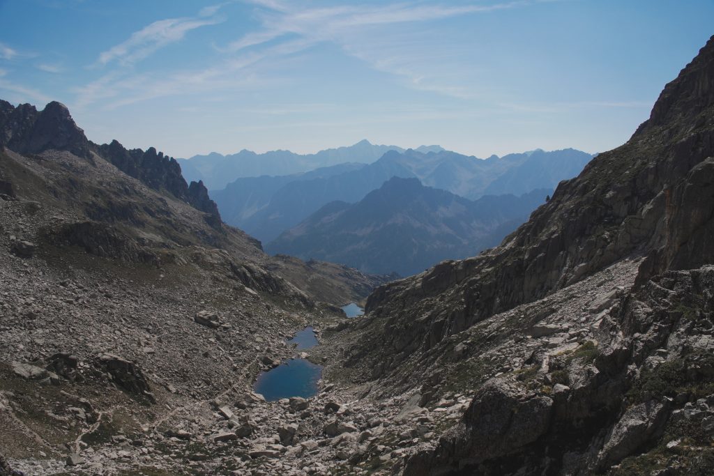
We stopped for lunch, bread, cheese, and the view, somewhere above the lakes, before continuing the loop and dropping back down a different way than we came up. By the time we got back to the car it had been close to 6 hours of walking, and we needed one day off of hiking the next morning.
My Take
This one earned its hard rating on AllTrails, and yeah, I’d agree with it. It’s long, the elevation gain is real, and by the last few kilometers I was very much done pretending my legs weren’t tired. But the lakes up near Cardinquère are the kind of turquoise you don’t quite believe until you’re standing next to them, and having the upper valley mostly to ourselves because we started early made the whole effort worth it.
If you’re based in Cauterets like we were and want a second hike nearby without changing hotels, our full guide to the Cirque de Gavarnie hike is about an hour’s drive away and a much gentler day, perfect for the day after this one when your legs need a break.