Lac de Gaube and Lac d’Estom: A 30 km Loop Hike from La Raillère
Two of the most famous lakes above Cauterets, one very long day. Here’s how to link Lac de Gaube and Lac d’Estom in a single loop from La Raillère, with where to park, what to pack, and exactly how the trail unfolds.
If you only have one day in Cauterets and you can’t decide which lake to pick, or if you’re just here to give yourself a stupid sporting challenge, this is your hike.
Key Info at a Glance
| Distance | 30 km loop |
| Moving time | 7 h 58 min recorded on AllTrails |
| Realistic day | 10 hours with breaks |
| Difficulty | Hard |
| Elevation gain | 1,682 m |
| Lowest point | 905 m at La Raillère |
| Highest point | Col d’Arraillé, 2,583 m |
| Type | Loop, two valleys, two lakes |
| Dogs allowed | No, you’re inside the national park |
| Parking | Free at La Raillère |
| When we went | 23 July 2026 |
I recorded the whole thing if you want the exact trace and the elevation profile: our Lac de Gaube and Lac d’Estom loop on AllTrails.
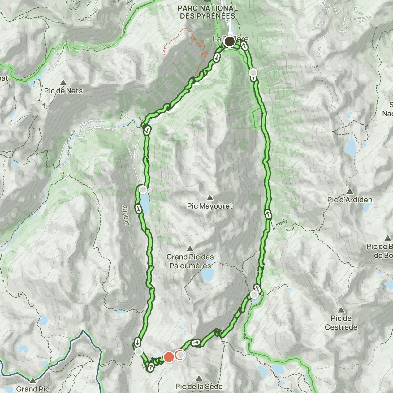
Where This Hike Goes, Gaube Valley to Lutour Valley
This loop sits right above Cauterets, in the Hautes-Pyrénées, inside the Parc National des Pyrénées. It uses two completely different valleys and links them over a high pass.
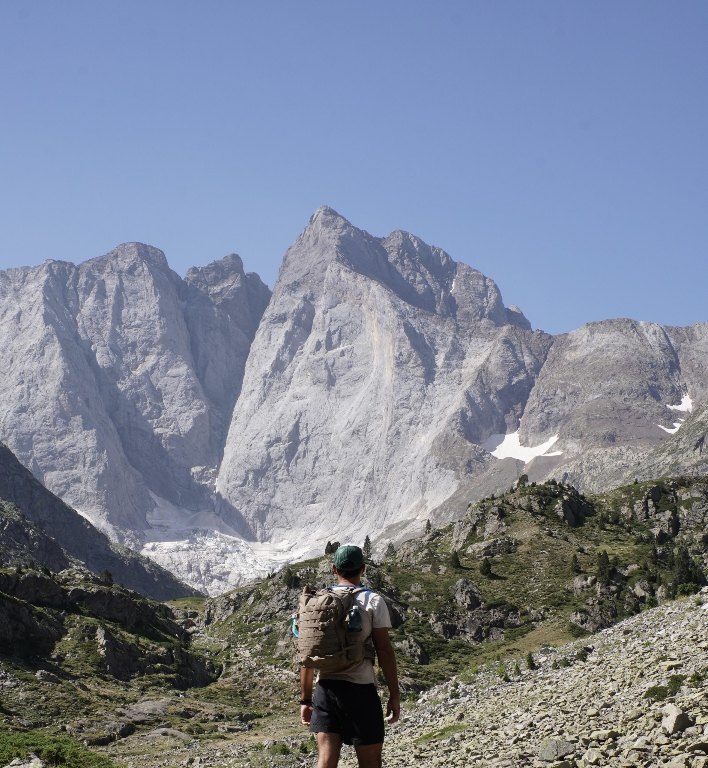
You go up the Gaube valley first, past the Pont d’Espagne, past Lac de Gaube at 1,725 m with the Vignemale standing there in the background, then up to the Refuge des Oulettes de Gaube at 2,151 m. From there you cross the Col d’Arraillé at 2,583 m, which is the whole reason this loop exists, and drop into the Lutour valley on the other side, down to Lac d’Estom at 1,804 m, past La Fruitière at 1,374 m, and back to your car at La Raillère.
Two valleys, two lakes, one pass, and a very tired version of yourself at the end.
When to Hike Lac de Gaube and Lac d’Estom
Mountain weather does what it wants, so treat any forecast as a suggestion and check it again the morning you leave. The Col d’Arraillé is the part that decides your season, because it’s high, it faces the wrong way for early melt, and the descent on the Lutour side is all loose rock.
| Season | Conditions | Day temp | Night temp |
|---|---|---|---|
| Spring (March to May) | MELTING SNOW. The waterfall trail and Pont d’Espagne are fine, but the col is still under snow and the scree descent is not something you want to improvise | around 5 to 15°C in the valley | near freezing up high |
| Summer (June to September) | SUNNY. Prime season, trail fully clear, afternoon thunderstorms are common in July and August | around 15 to 23°C | 5 to 12°C at altitude |
| Autumn (September to October) | CRISP AND QUIET. Best light of the year, fewer people, but the refuges start closing and the first snow can land on the col | around 8 to 16°C | near freezing |
| Winter (November to April) | SNOW-BOUND. The loop as described is off the table, this becomes serious winter mountaineering terrain | around 0 to 5°C | well below freezing |
We went on 23 July, which gave us long daylight and warm afternoons, and that matters a lot here because you genuinely need the daylight. Doing 30 km with 1,682 m of climbing is not something you want to be finishing with a head torch.
One thing worth knowing if you’re timing this around the refuges: in 2026 the Refuge des Oulettes de Gaube is staffed from 25 July to 17 October, and the Refuge d’Estom is open from 30 May to 4 October.
And a newer one that caught a lot of people out this summer: since June 2026, swimming is banned in every lake inside the heart of the Pyrenees National Park. That includes Lac de Gaube and Lac d’Estom. Streams and waterfalls are still fine, which is lucky, because that’s where our best break of the day happened anyway.
How to Get to the Trailhead and Where to Park
Park at La Raillère. Not at Pont d’Espagne.
I know it’s tempting to drive higher and save yourself the first climb, but the whole point of this loop is that it starts and finishes in the same place, and the Lutour valley brings you back down to La Raillère, not to Pont d’Espagne. If you park up top you’ll finish your 30 km with a road walk, and trust me, at that stage of the day you will not be in the mood.
La Raillère is just outside Cauterets on the D920, direction Pont d’Espagne. The car park is free, it’s flat and tarmacked, and it’s the trailhead for the chemin des cascades, which means everybody uses it. Get there early. We’re talking properly early, like arriving before 8 am, because in summer it fills up and then you’re circling. Arriving early also buys you the first two hours of trail almost to yourself, which is a big deal.
One caution: I’ve seen mentions online of time restrictions on some sections of parking around La Raillère, and I can’t confirm what’s currently posted, so have a quick look at the signs before you walk off for ten hours.
If you’d rather not drive at all, there’s the Pont d’Espagne shuttle that runs from Cauterets and stops at La Raillère on the way. In 2026 it runs from 30 May to 27 September, and a one way ticket to La Raillère is around 2 euros, with Pont d’Espagne around 5.50 euros.
Where to Stay in Cauterets
We slept in Cauterets, which is the obvious base for this one since the trailhead is barely five minutes out of town. It’s also a spa town, which is a very good thing to have on your doorstep after a day like this.
Here are three places to stay in Cauterets, one for every budget:
| Budget | Hotel | Good to know | Book |
|---|---|---|---|
| € | Cauterets Res Pont d’Espagne | A cozy 36 m² studio in the heart of Cauterets, offering mountain and river views, a kitchenette, and easy walking access to thermal baths and restaurants. Rates start around €62/night. | Check rates → |
| €€ | Le 38 Authentique | A 34 m² two-bedroom apartment right in the center of Cauterets, offering mountain and river views. Hosted by a private host (Ludovic and Sandra), it starts at €114 per night. | Check rates → |
| €€€ | Les Chalets de l’Ours | A modern chalet accommodation in Cauterets, near the town center and ski lifts, offering private kitchens, balconies with mountain views, and free parking. It starts at €225 per night. | Check rates → |
What to Pack for a 30 km Day Hike
This is not a stroll. 30 km with 1,682 m of climbing will find every single weakness in your gear, and it will find it around kilometre 22 when you have no patience left. Here’s what we actually carried:
| Item | Why | Shop |
|---|---|---|
| Hiking shoes | Worth investing in proper ones. The descent from the col is loose rock for a very long time and your ankles will file a complaint. | Shop Hiking Shoes → |
| Sun hat, sunglasses, sunscreen | You’re above the treeline for hours with zero shade, and the col is fully exposed. | Shop the Vichy Capital Soleil SPF50+ → |
| At least 3 litres of water each | More than you’d take for a normal day. There are streams on the way up but don’t plan your day around them. | Shop the Hydration Bladder → |
| Real food, not just snacks | We ate at the Refuge des Oulettes de Gaube, but we still carried enough to get through the whole day without it. | |
| A compact first aid kit | Something I never leave behind anymore, and on a trail where we saw four people in three hours, even less so. | Shop the First Aid Kit → |
| A fleece | It gets cold fast up at 2,583 m, even in July, and the wind on the col does not care that it’s summer. | Shop the Fleece → |
| Offline map or GPS track | Not optional here. Phone signal disappears and the section after the col is badly marked. We used AllTrails downloaded offline. | |
| Cash | The refuges in this area often don’t take cards. Oulettes de Gaube specifically doesn’t. |
The Route Step by Step, Because You Won’t Find It on AllTrails
This loop isn’t listed as a trail on AllTrails, it only exists as recordings, so here’s the whole thing broken down. Download a track before you go.
La Raillère to Pont d’Espagne, the waterfall trail
You start from La Raillère at 905 m and take the chemin des cascades. It climbs, and it climbs immediately. No warm up, no gentle valley floor, you’re just going uphill from the car park. It’s beautiful, there are six waterfalls stacked up along the way and the whole thing is genuinely one of the nicest trails in the area, but I want to be honest: it puts you in your legs straight away. You arrive at Pont d’Espagne at about 1,500 m already knowing what kind of day it’s going to be.
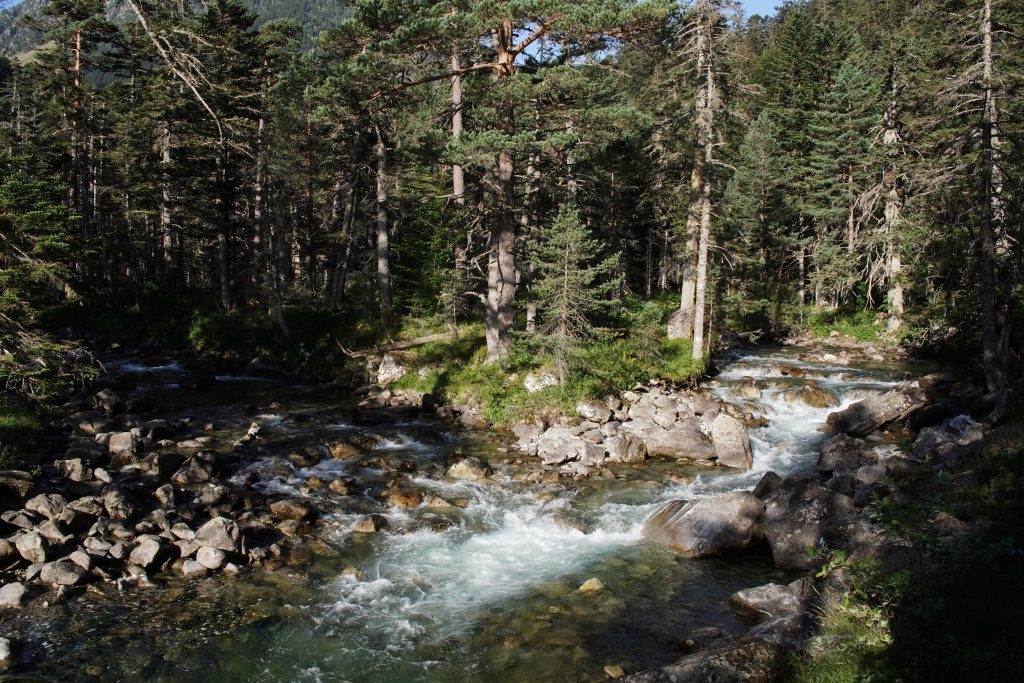
Pont d’Espagne to Lac de Gaube, the easy bit
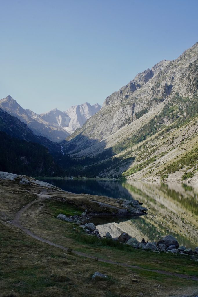
After that, this section feels like a holiday. It’s a gentle walk and you get to Lac de Gaube pretty quickly, and the view when the lake opens up with the Vignemale behind it is exactly as good as everyone says.
Leaving around 8 am, there was almost nobody on the path. By the afternoon this stretch is completely packed, because it’s the classic family outing of the whole valley, so the early start pays for itself twice over here.
Lac de Gaube to the Refuge des Oulettes de Gaube
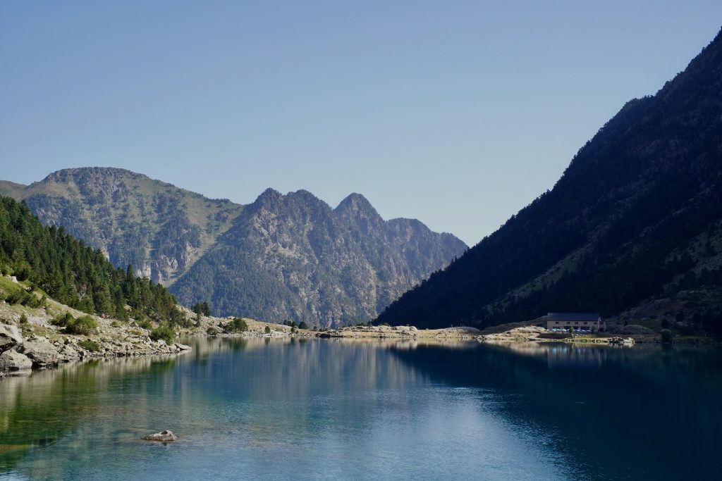
Up to the refuge it’s fairly simple and the path is really nice. You’re walking up an open valley with the north face of the Vignemale getting bigger and bigger ahead of you, which is a very effective way to distract yourself from the fact that you’ve been climbing for hours.
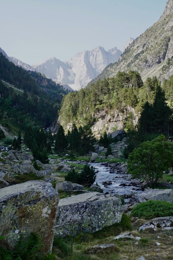
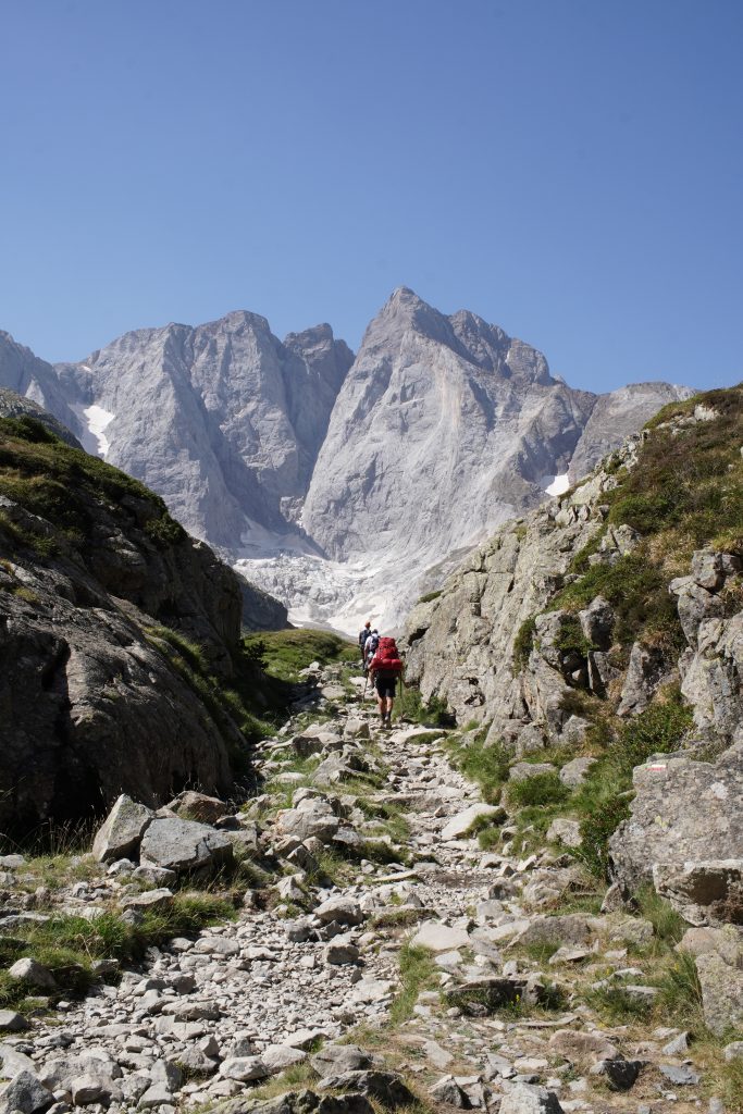
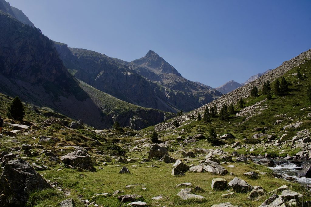
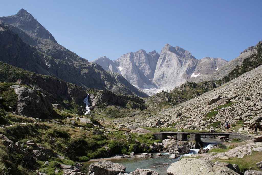
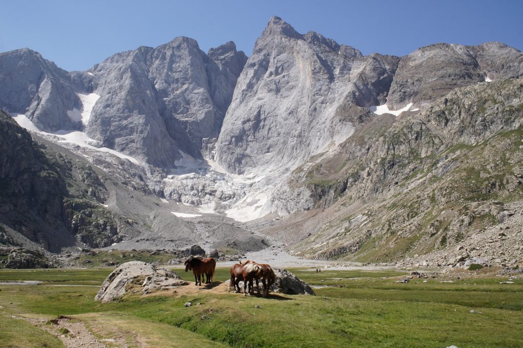
The Refuge des Oulettes de Gaube sits at 2,151 m. We decided to eat there and give ourselves a full hour of break before the next section.
The climb to the Col d’Arraillé, otherwise known as the death climb
We called it the worst climb in our lives and I want to be clear that this was not a joke. It’s terrible. It climbs hard, relentlessly, and my pace went from a comfortable 13 to 15 minutes per kilometre in the valley to 25 minutes on the worst kilometre. That single kilometre had 194 m of climbing in it.
There were a few people on the path with us who’d been bivouacking, but they turned right where we went left, and from that moment we were alone in the world. Four people in three hours. That’s it.
This is also where the route stops being obvious. After the paths split, it’s genuinely not easy to follow. You climb through scree until you reach the col at 2,583 m, and I strongly recommend having the map downloaded in advance so you can check your GPS position, because “just follow the path” is not advice that works up there.
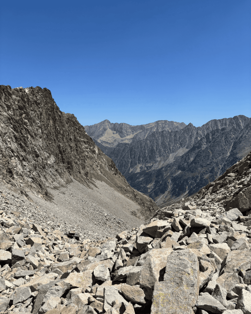
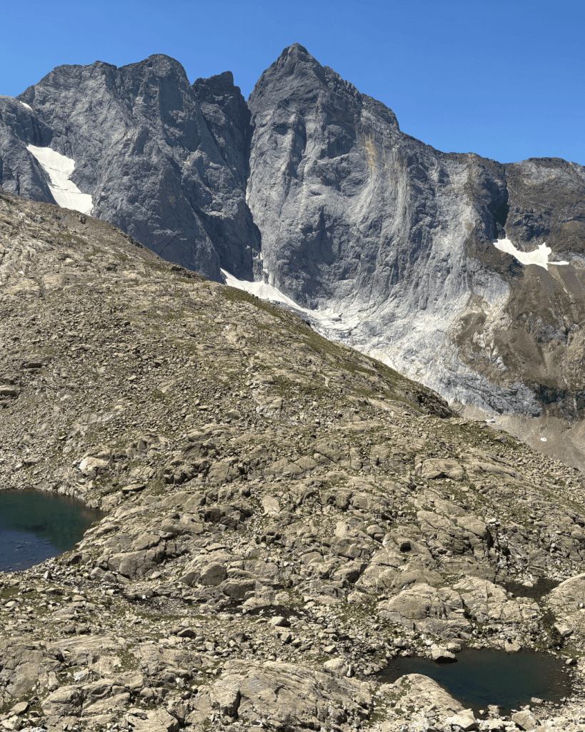
Col d’Arraillé down to Lac d’Estom
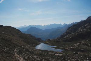
And then comes the descent, which is endless. Loose rock, all the way down, almost until the moment Lac d’Estom finally appears below you.
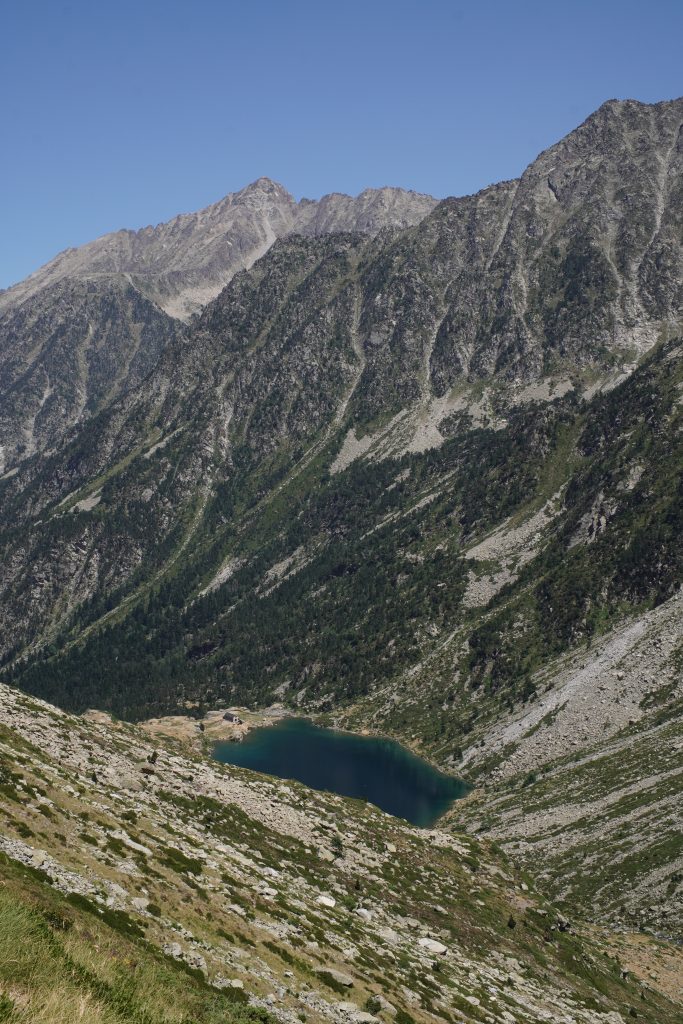
We could have taken a detour to see the Labas lakes off to the side, and part of me still wonders about it, but I’ll be honest with you: we were barely past halfway and we did not feel remotely capable of adding anything. This was the first time in our lives we’d walked 30 km in one day and we were rationing every bit of energy we had left.
Once you’re past the worst of the scree, though, the descent to Lac d’Estom is really lovely. The landscapes on that side are breathtaking, and it’s a completely different valley from the one you came up. Wilder, emptier, and you feel like you’ve earned it.
Lac d’Estom to La Fruitière
The section from Lac d’Estom down to La Fruitière is busy, this is the popular walk of the Lutour valley, but it’s fine because the path is wide enough that the crowd doesn’t really bother you. You’re mostly just watching fresh, clean people walk uphill past you while you look like you’ve been through something.
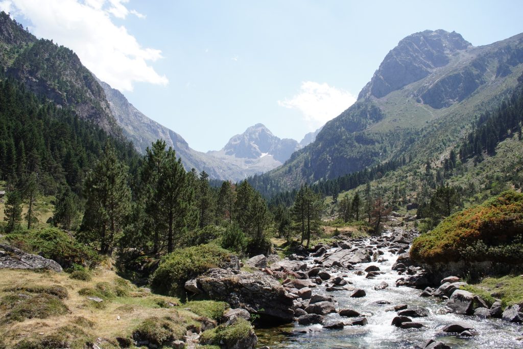
By the time we reached La Fruitière at 1,374 m we were completely done.
La Fruitière back to La Raillère, and the best break of the day
We decided to stop on the path between La Fruitière and La Raillère and get in the river. Best break of the entire day, no contest. Also the hardest one to get up from, because the last stretch is downhill the whole way and honestly not that interesting.
But that’s the deal. You have to walk that bit if you’ve decided to do both lakes in one day, so you put your shoes back on and you finish it.
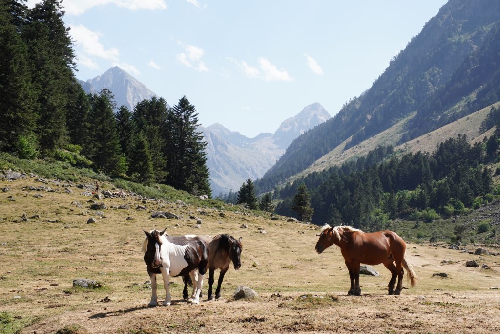
Quick reminder here since it’s new: the swimming ban that came in during June 2026 applies to the lakes inside the national park, so Lac de Gaube and Lac d’Estom are out. Streams are still fine, which is exactly where we ended up anyway.
My Take, Is This Loop Actually Worth It
Yes, but go in with your eyes open.
30 km, 1,682 m of climbing, nearly 8 hours of pure moving time and realistically 10 to 11 hours door to door once you count the lunch, the swim and every single moment we sat down on a rock. It’s a proper challenge, and it was the first time we’d ever walked 30 km in a day.
What makes it worth it is the middle section. Everybody does Lac de Gaube, everybody does Lac d’Estom, almost nobody links them, and the three hours between the refuge and the col where we saw four people total is the part I’d do again tomorrow. You get two of the most photographed lakes in the Pyrenees and, in between them, a stretch of mountain where you’re completely on your own.
It was an incredible challenge, and it absolutely deserved the raclette we had afterwards. Plus one cocktail that felt like five, and being asleep before the sun had even gone down.
If you want something in the same area that won’t destroy you, our Cauterets lakes circuit in the Marcadau valley is 22 km and a much more reasonable day, and the Cirque de Gavarnie hike is about an hour away and gentle enough to do on tired legs.